Jingu-ji temple: Founded in 714, Jingu-ji temple is home to the famous Omizu-Okuri festival held annually on March 2nd, which connects to Nara’s Todaiji temple.
Routes
3 Day Course
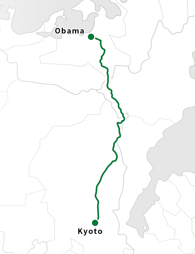
Obama~Kyoto
“Kyoto is a long way, but it is only 18 ri (approx. 72km).” It is said that the people who carried goods in the old days traveled from Wakasa to Kyoto in a single day and night.
The suggested itinerary of 3 days and 2 nights allows time to fully appreciate the culture and scenery along this historic route.
The suggested itinerary of 3 days and 2 nights allows time to fully appreciate the culture and scenery along this historic route.
Checklist
| Obama~Kyoto | |
| 72km | |
| Intermediate | |
| 5〜10 | |
| a flashlight, first aid kit, rain gear, and emergency rations, Bell,Map, amenities | |
| Day1: Kominka Cocco Koiriya or Kutsuki Onsen Tenku |
TIME SCHEDULE
DAY1
7:30
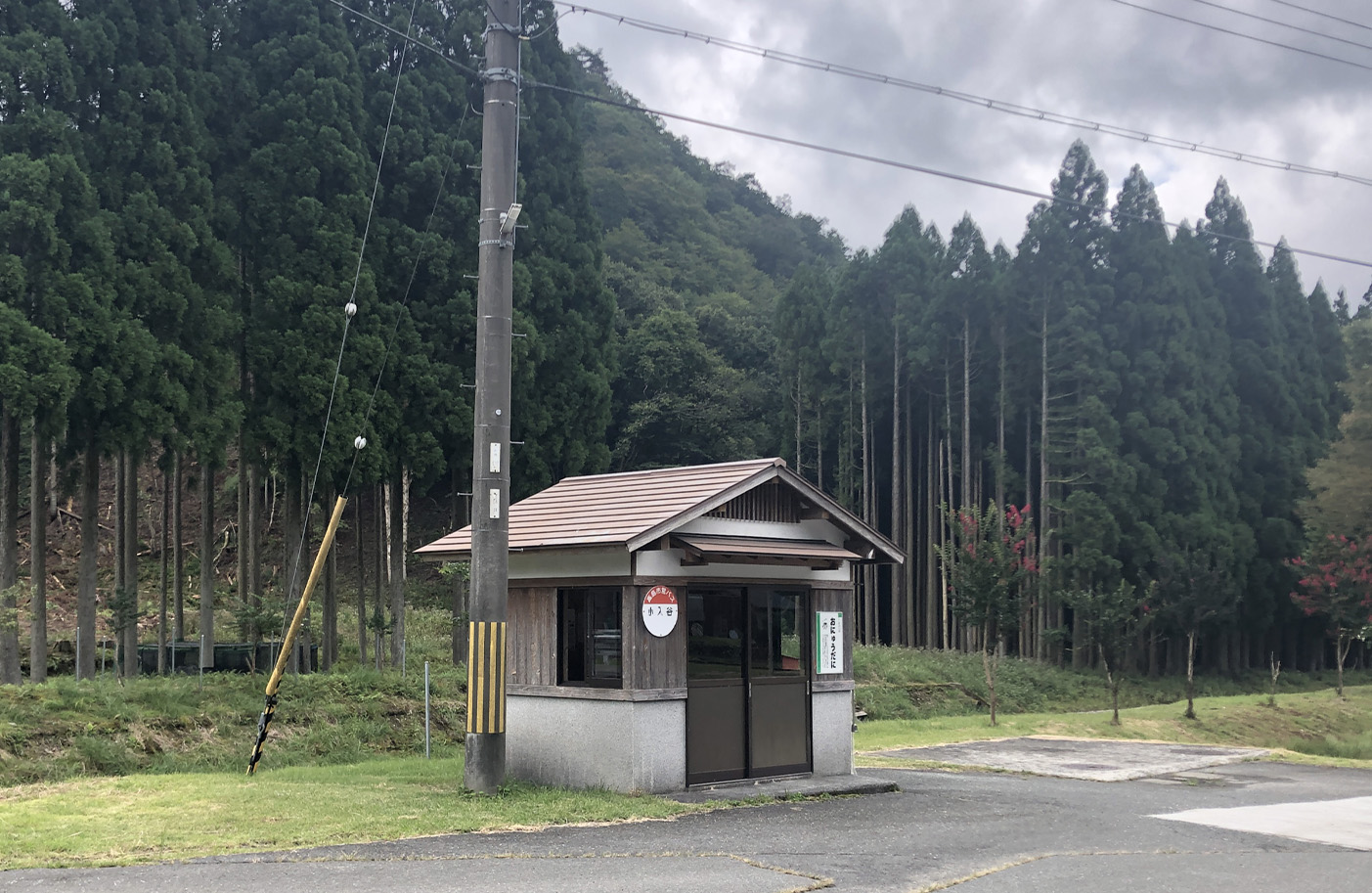
Obama Station
Jinguji Templ
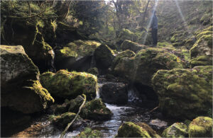
Unose
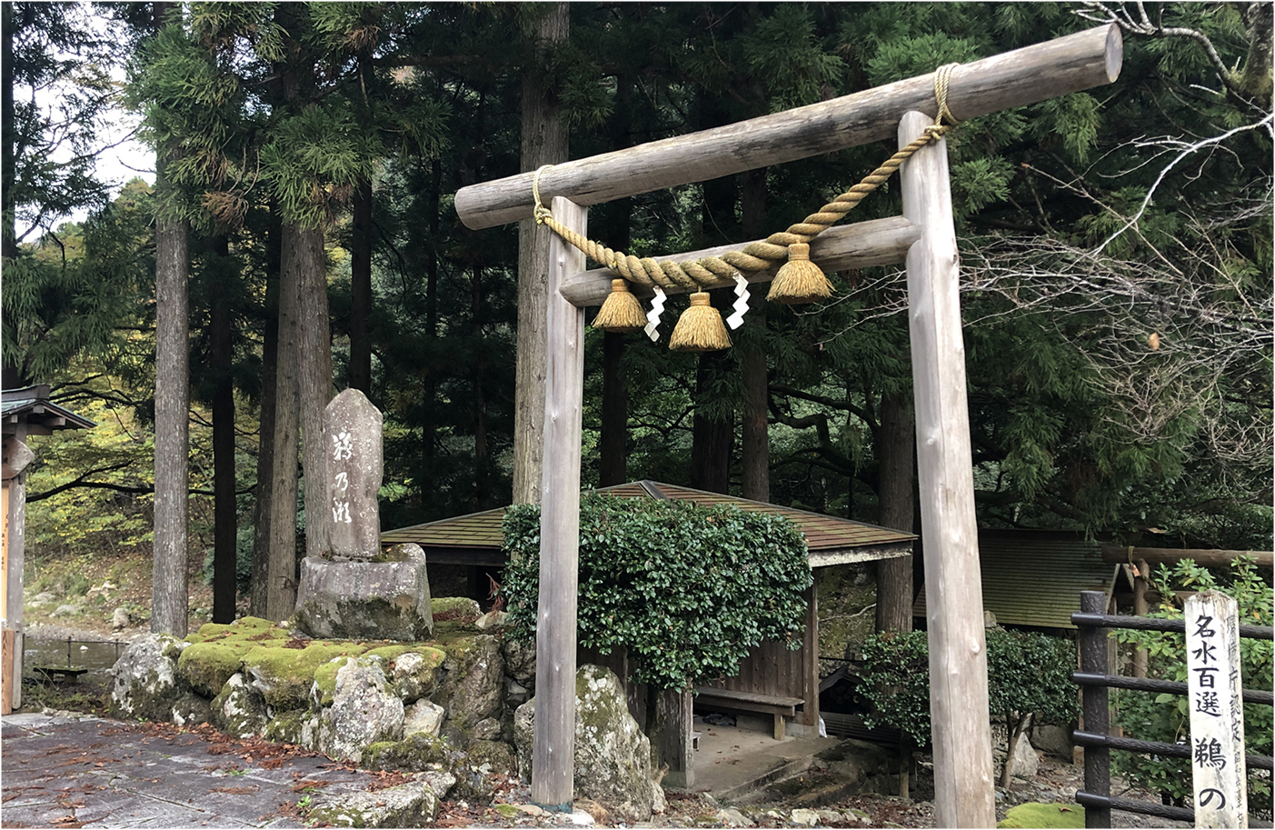
A sacred location where they perform the famous Omizu-Okuri (water sending) Shinto ritual that has been upheld for over 1300 years, where water is poured into the river and it takes 10 days to reach Nara.
13:30
Take a break at Kaminegori Village
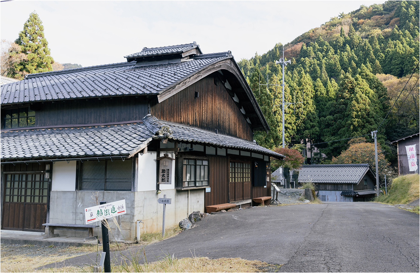
Kaminegori Village: Located at the base of Harihatagoe pass also known as Negori-zaka, or Negori slope, the villagers in Kaminegori settlement are said to have worked as luggage porters in the Edo Period, and it still retains the cultural landscape of a traditional village along a mountain pass.
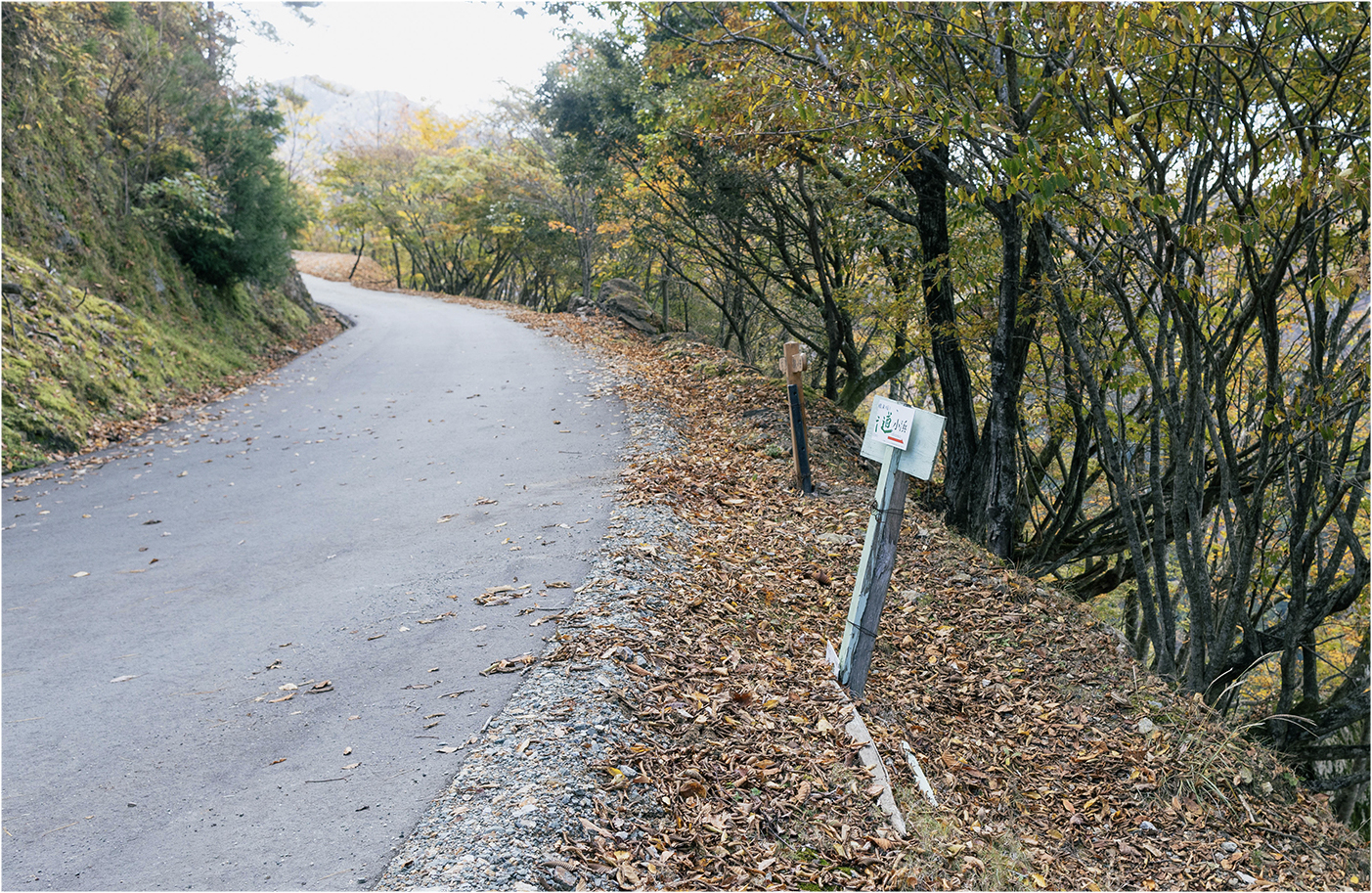
Water source sign
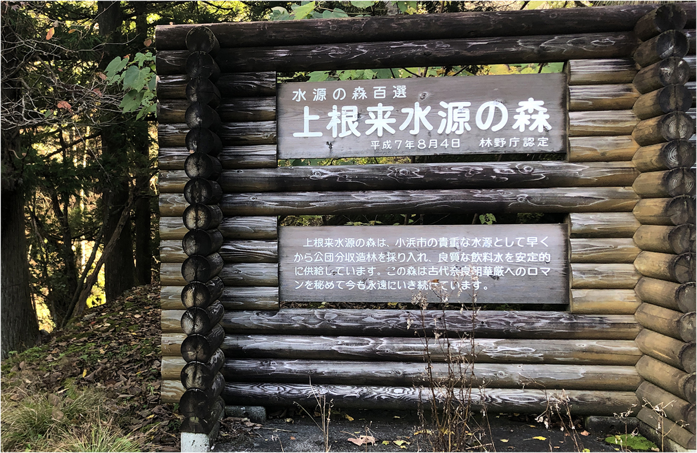
Large sign on the left-side of the path. Behind the sign you can go down to the river.
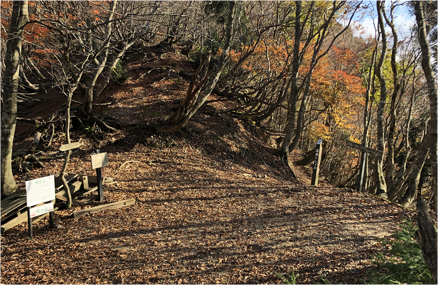
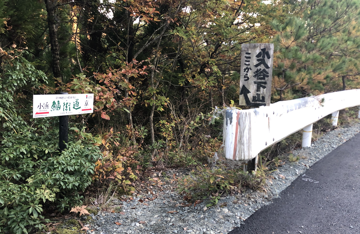
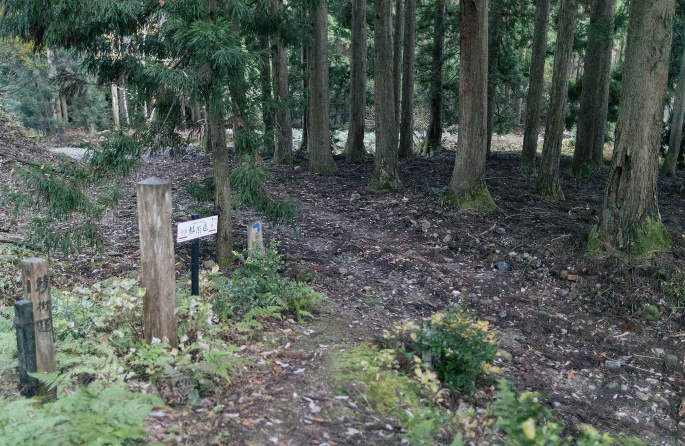
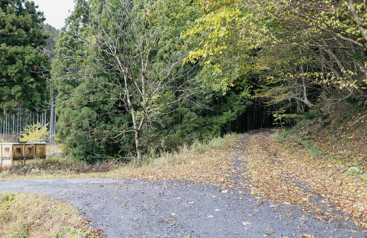
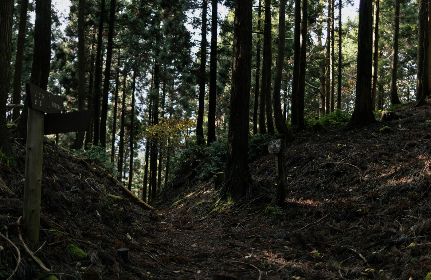
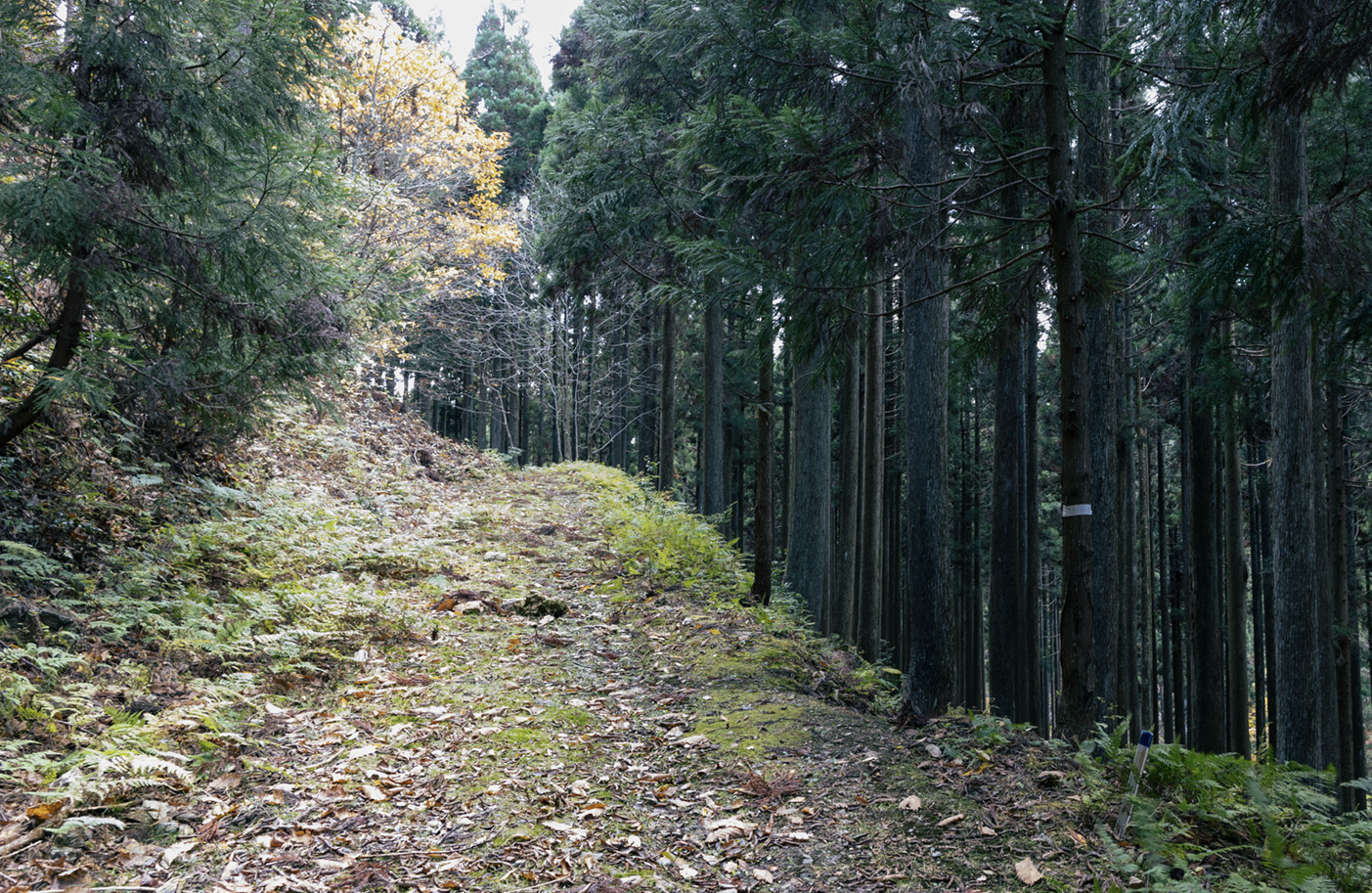
Negorizaka Mountain Pass
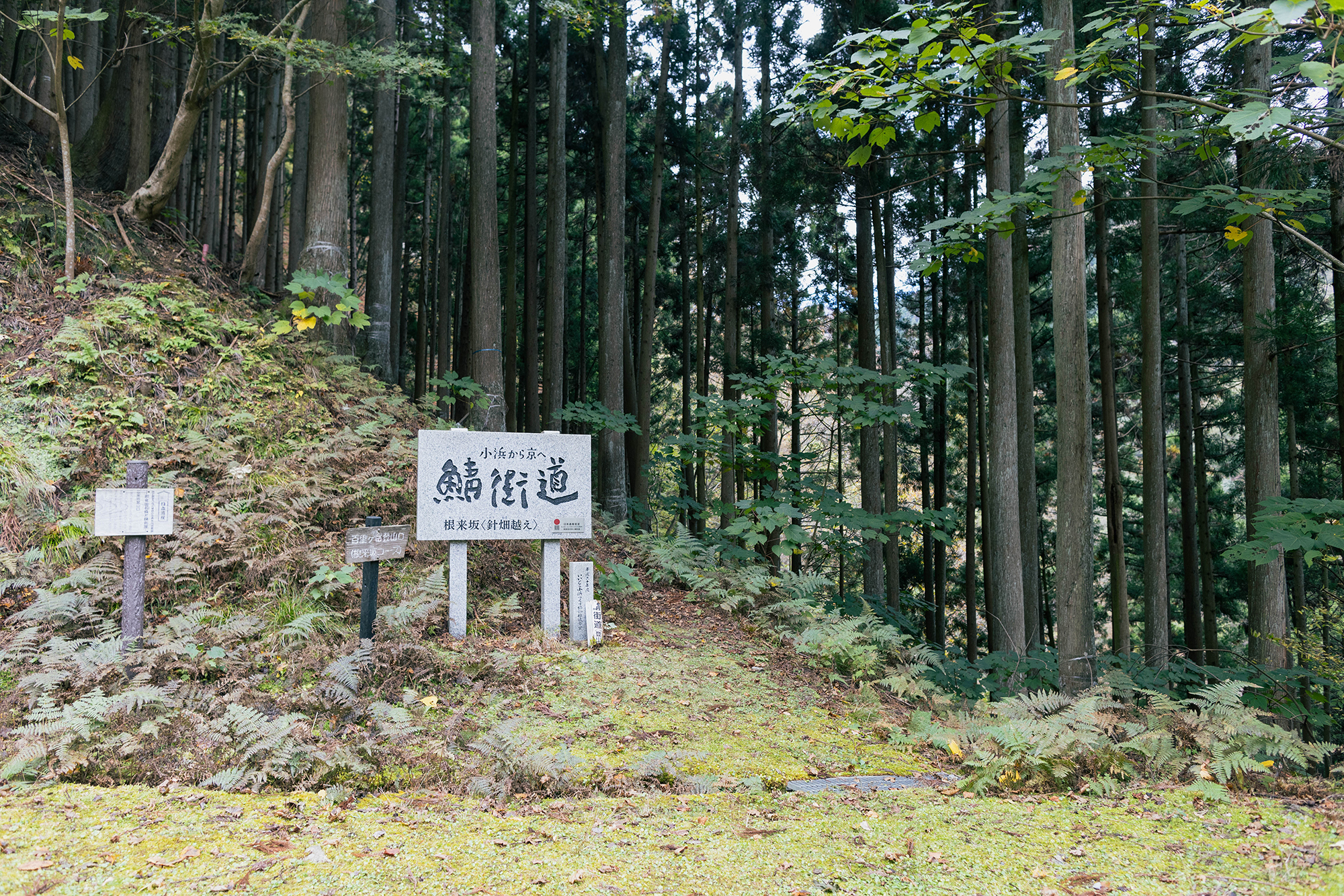
Mountain entrance to Negorizaka mountain trail.
Important Point 1
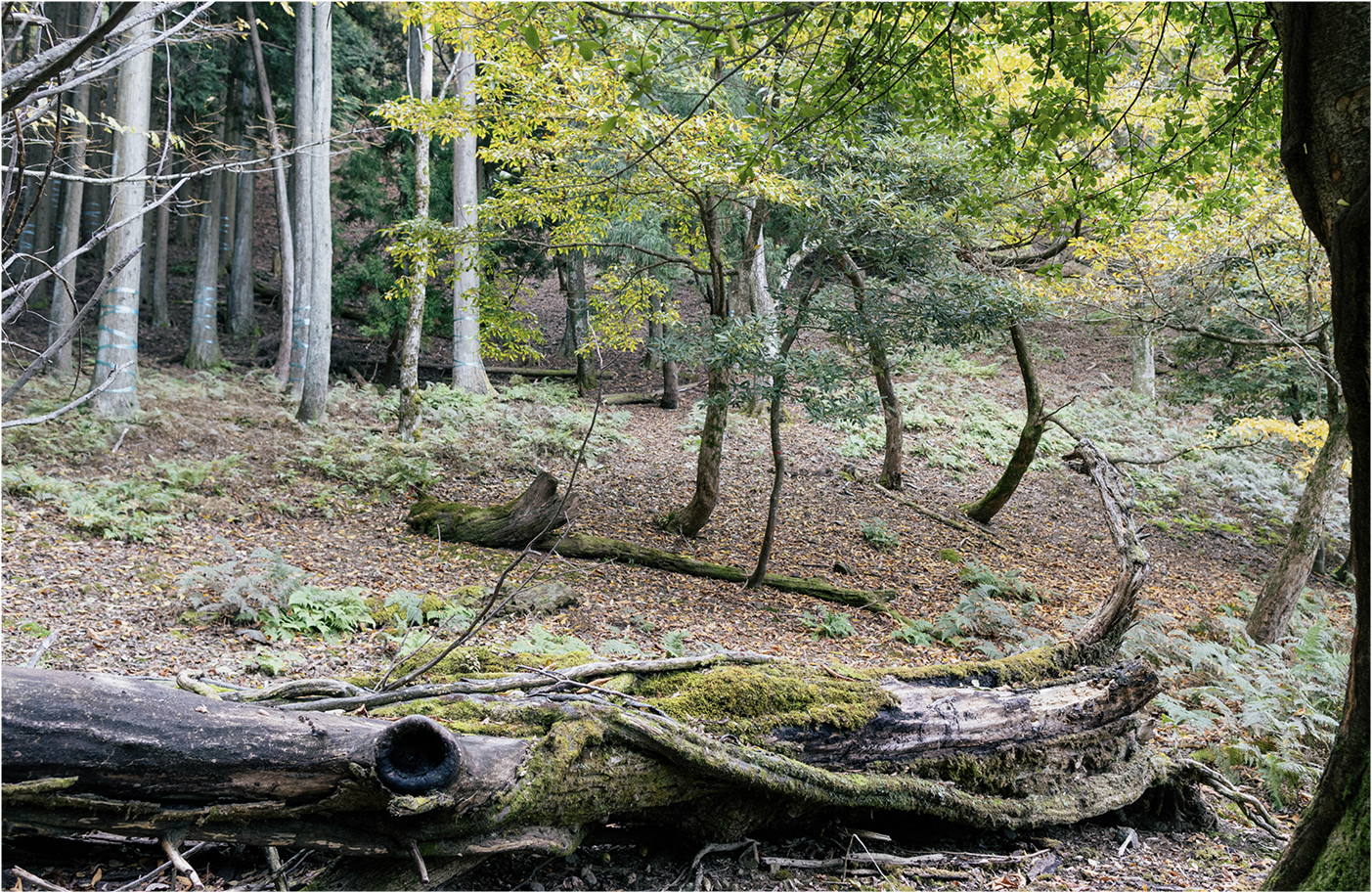
The trail forks, do not go left, but go around the big fallen tree and then continue forward and go right after the small fallen tree.
Goza Iwa Rock
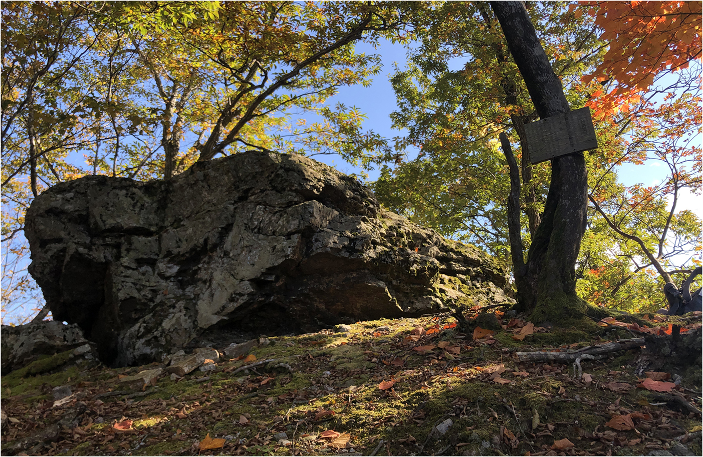
Goza Iwa Rock: This sacred rock is said to be the place where Wakasa hime descended, and is a good rest spot along the mountain ridge, with beautiful views of the valley.
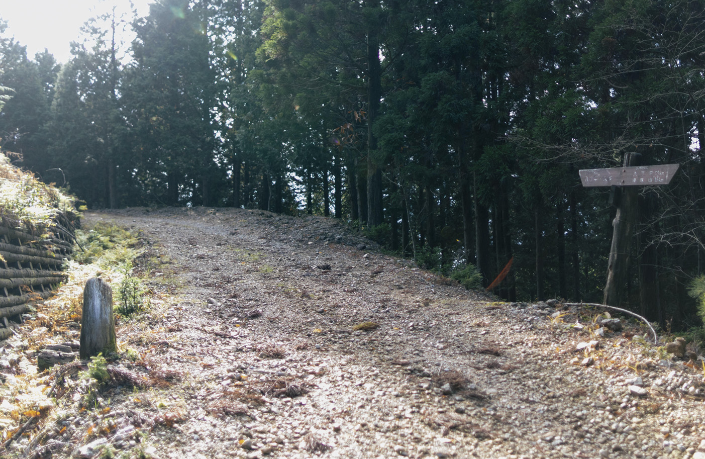
Turn right onto paved road.
Turn right onto paved road.
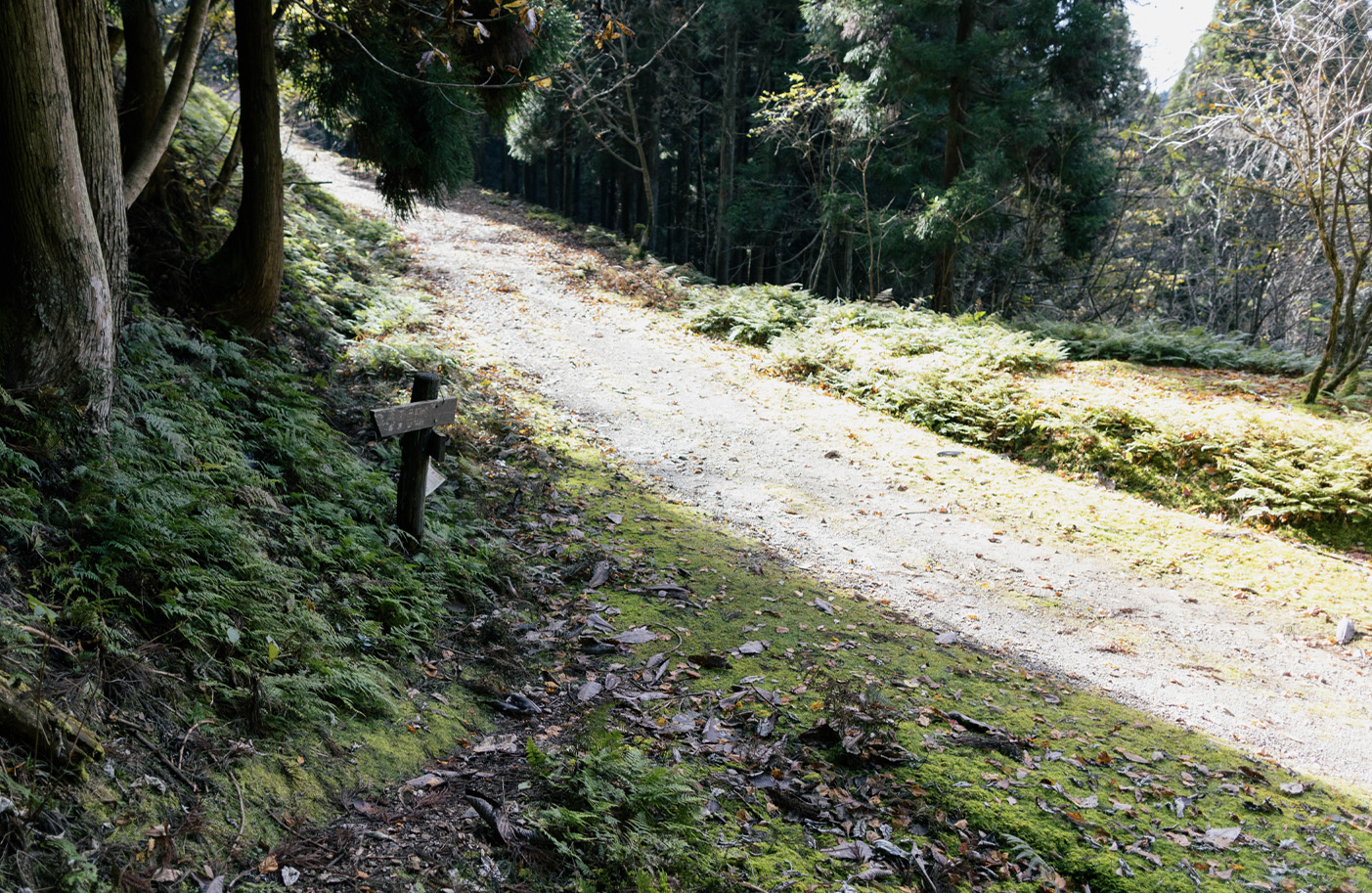
Viewpoint
View from path overlooking Kaminegori village and you can see as far as Wakasa Bay.
Turn left onto mountain trail.
Turn left onto mountain trail.
Jizo Statue and Well
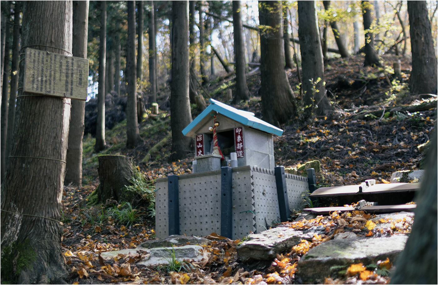
Jizo statue and well with an explanation in Japanese.
16:00
Harihata Pass
Harihata Pass: Harihatagoe mountain pass is said to be a part of the oldest Sabakaido route which connected the Wakasa region to ancient Kyoto.
Viewpoint
Beautiful scenery while descending the path from Harihata Pass.
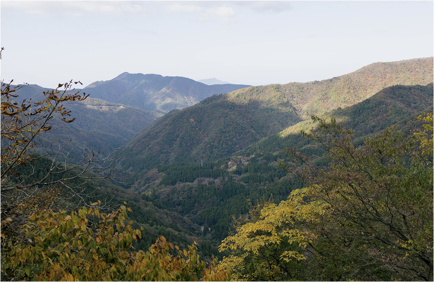
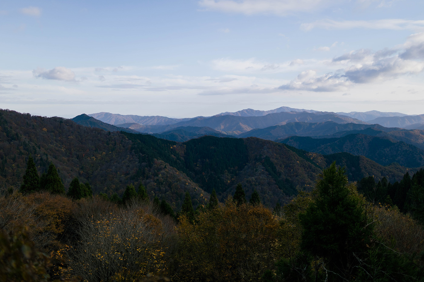
The trail connects to the road, with a splendid view of mountain ranges to the south towards Kyoto, and famous for it's 'Sea of clouds' scenery in Autumn.
Turn left onto mountain trail.
Turn left onto paved road.
Turn left back onto mountain trail.
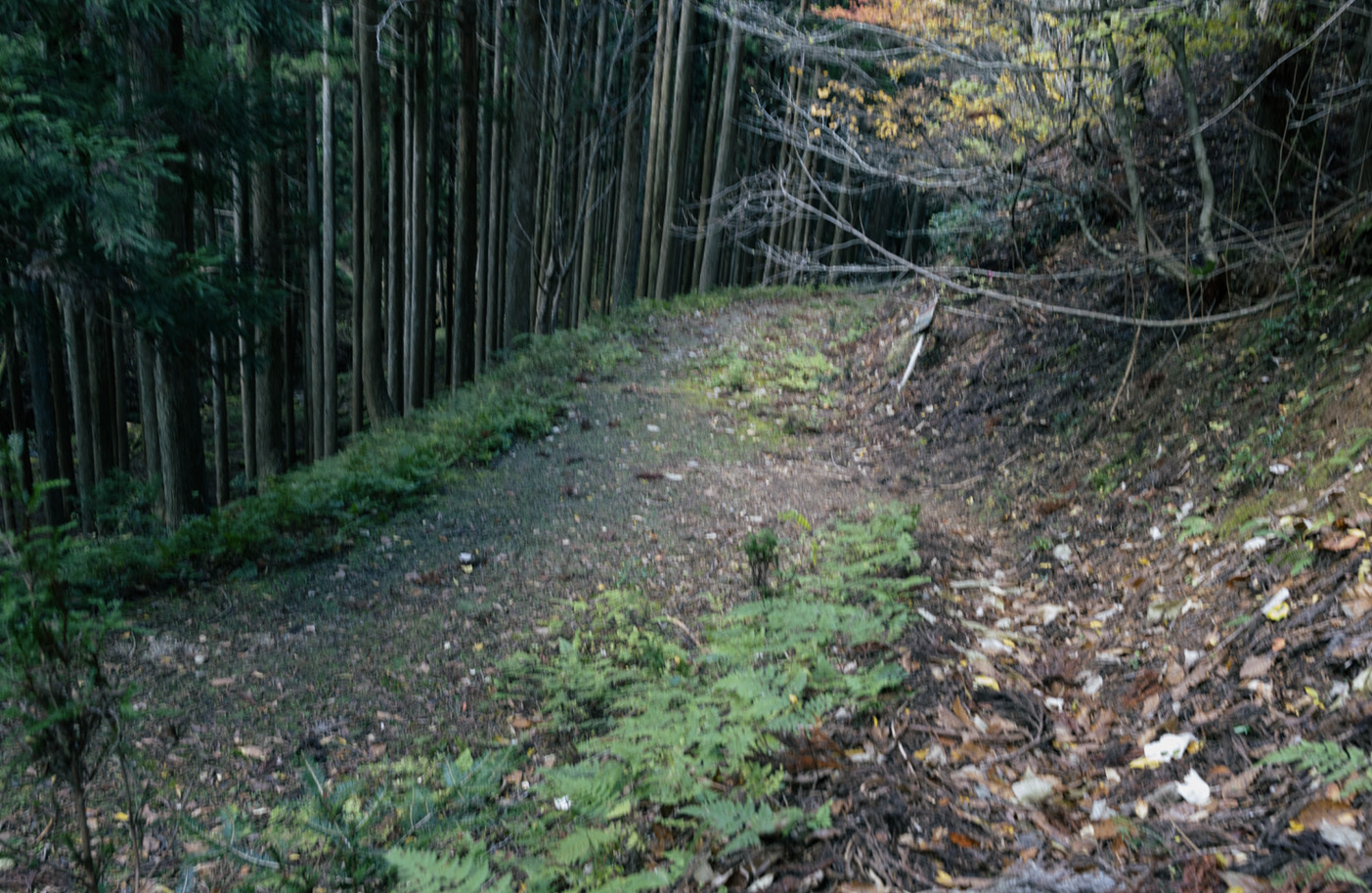
Turn right onto forest path.
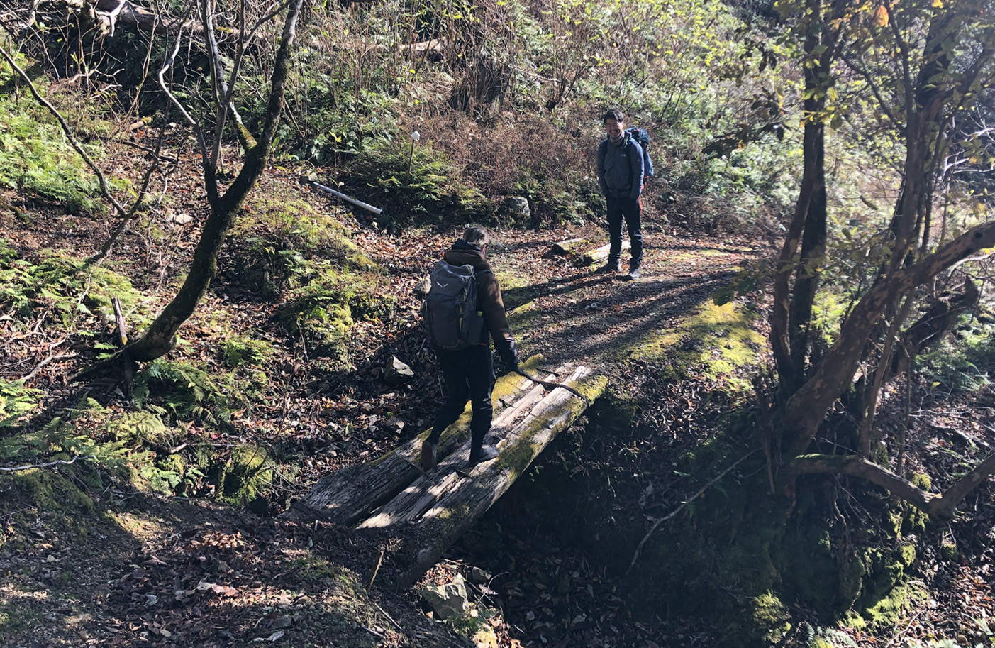
Turn right onto the forest path and continue across the bridge.
Turn right onto the forest path and continue across the bridge.
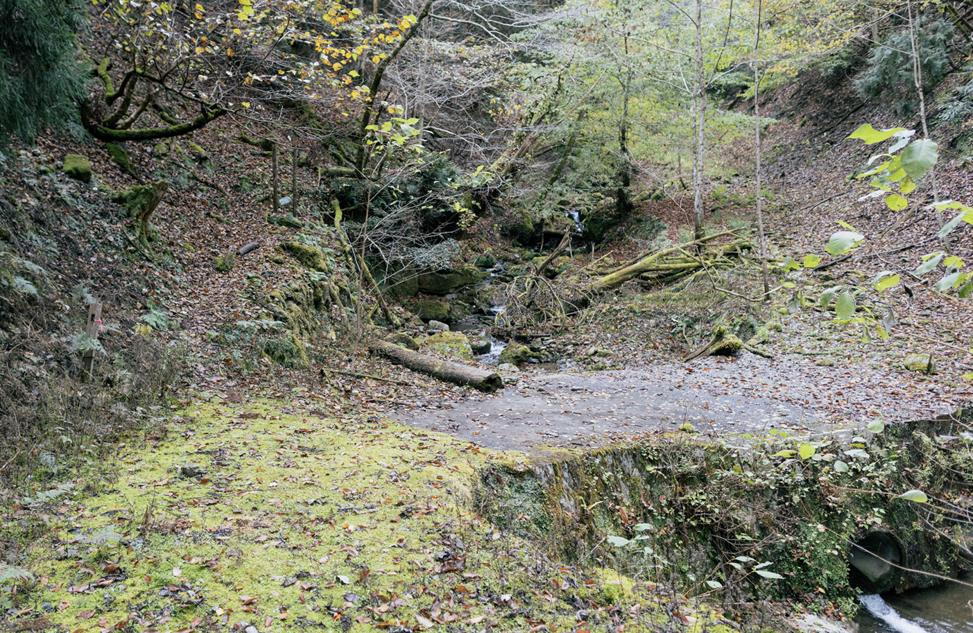
Cross the stream.
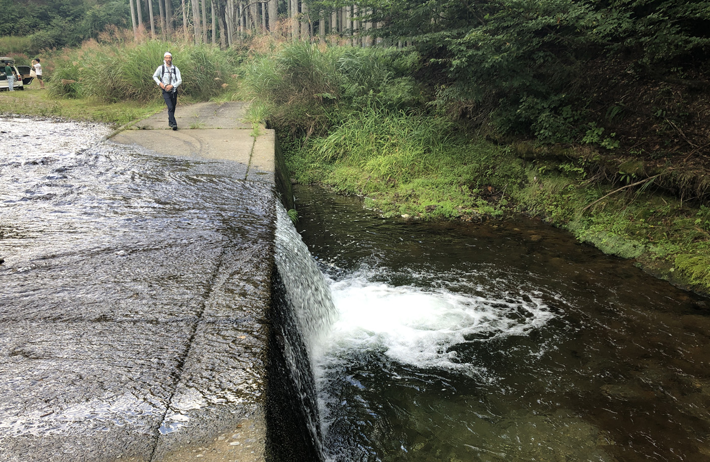
Onyudani Valley
Onyu valley is located on the border between Shiga and Fukui prefectures, it is a spectacular spot where you can see the sea of clouds in the early morning from October to November.
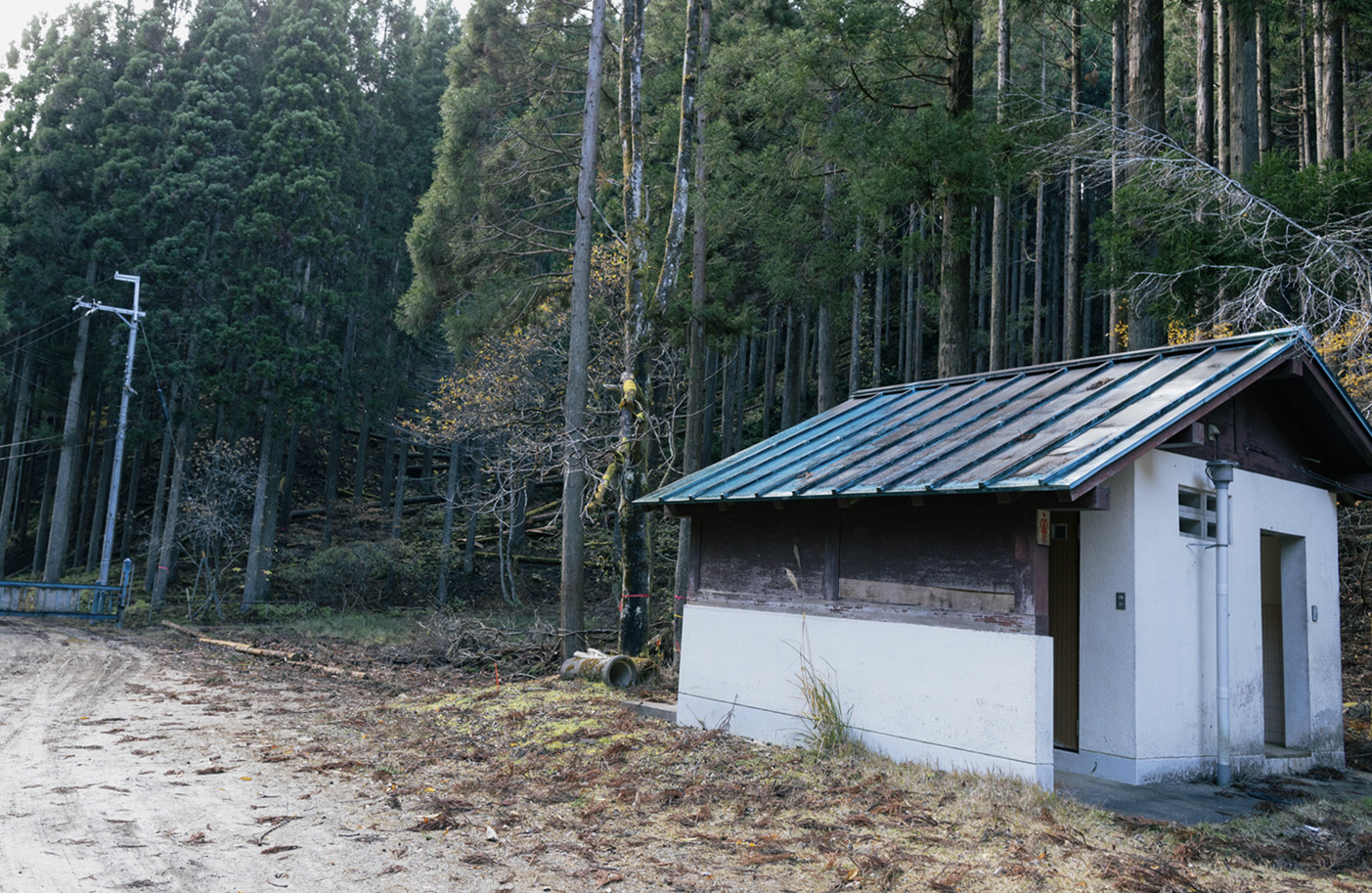
Onyutani Bus Stop
DAY2
Onyutani Bus Stop
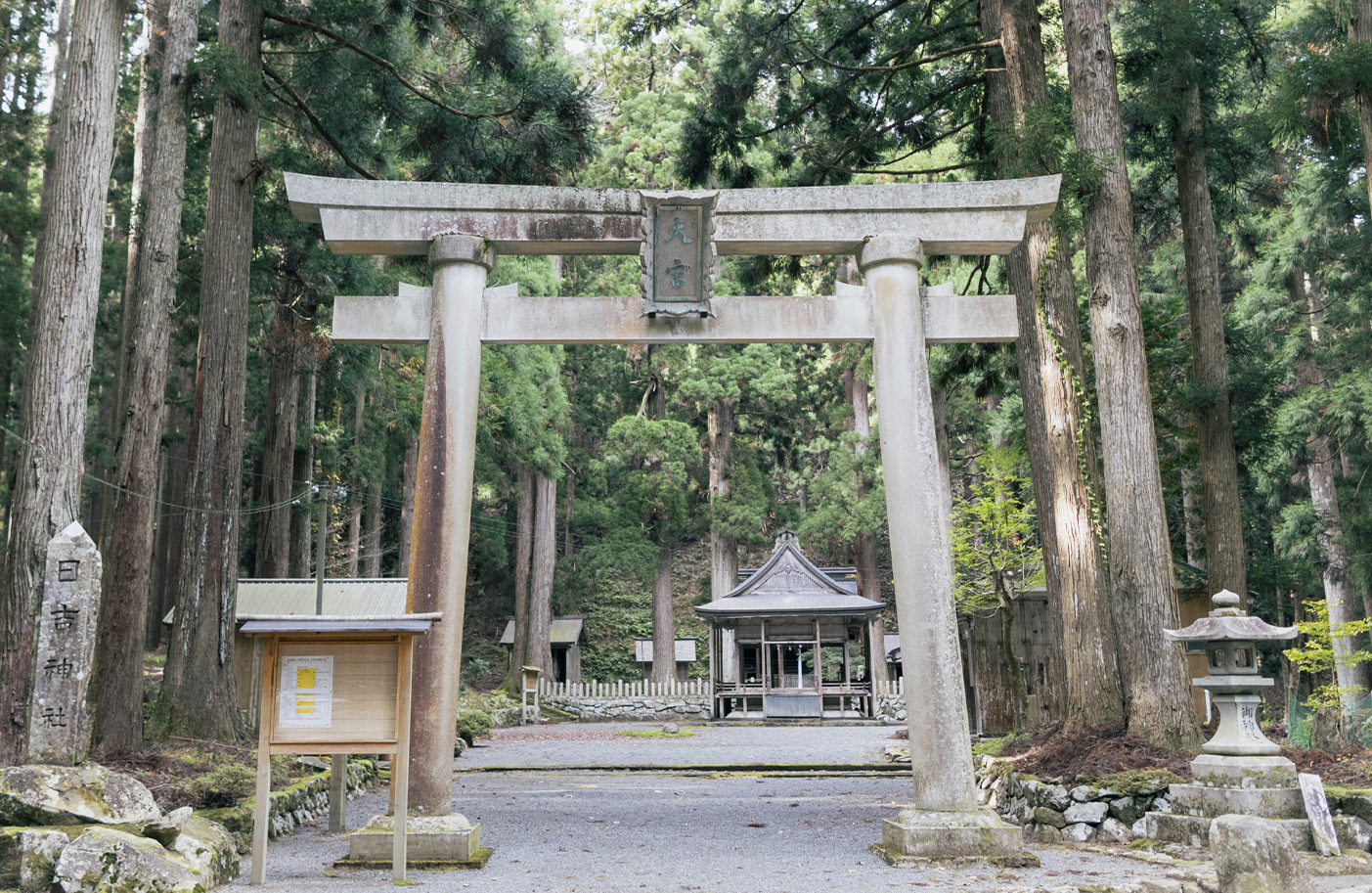
Omiya Shrine
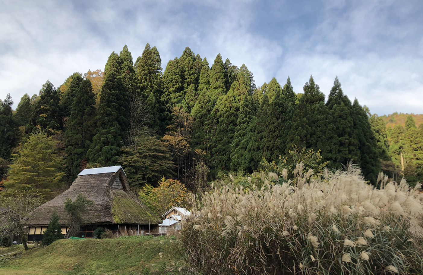
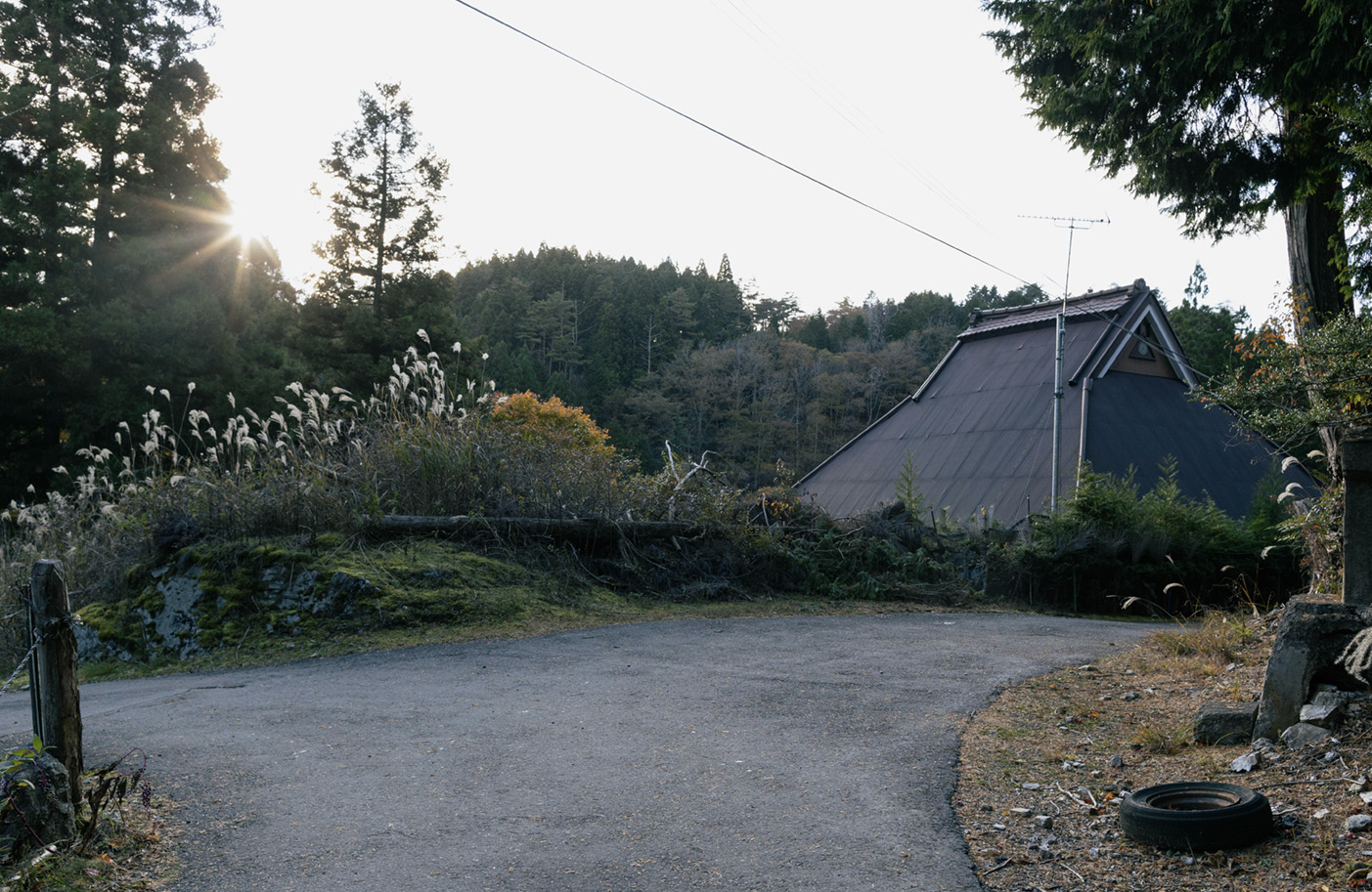
Furaya Village
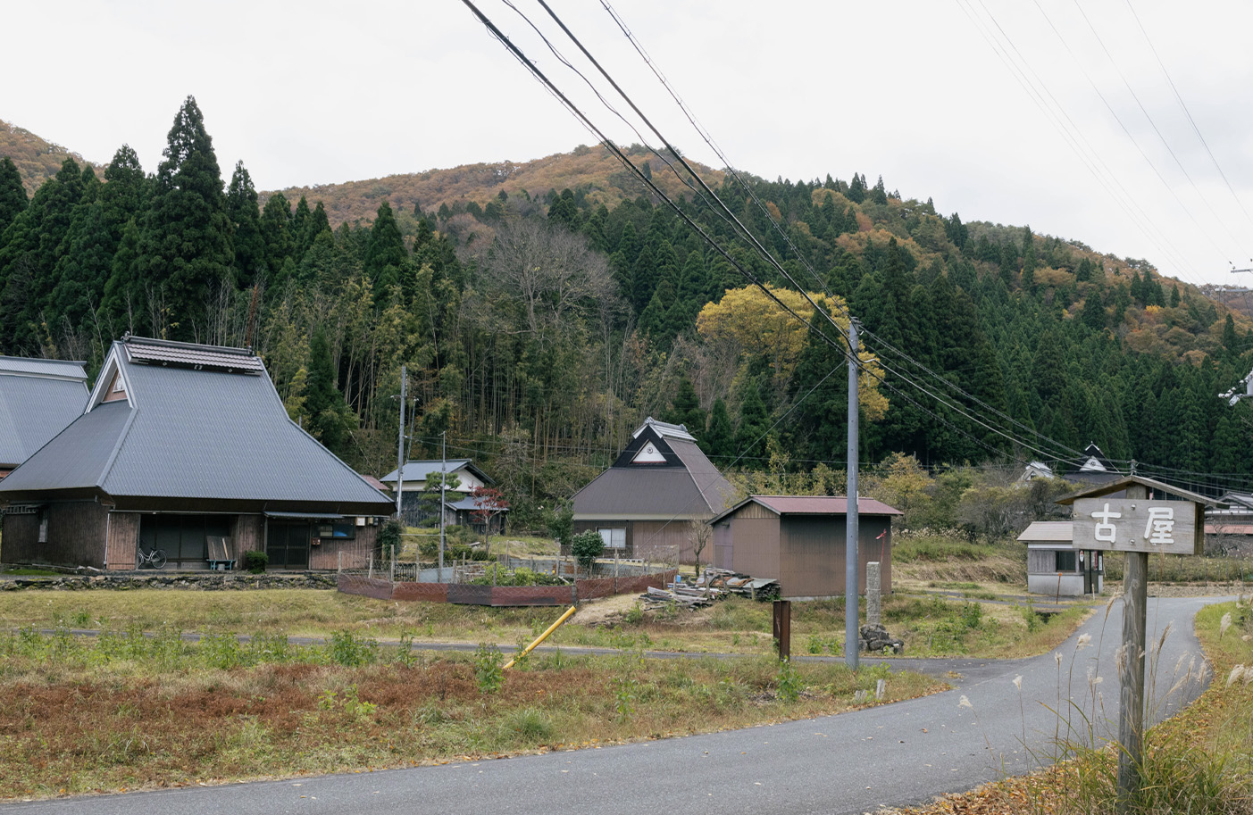
Walk through traditional villages with meandering paths and experience Japan’s rural landscape.
Kuwabara Village
Shrine and Gingko tree
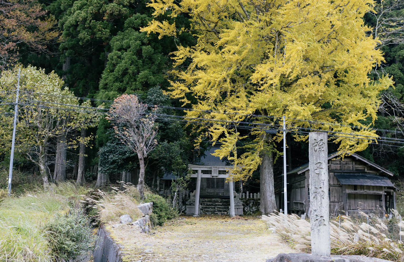
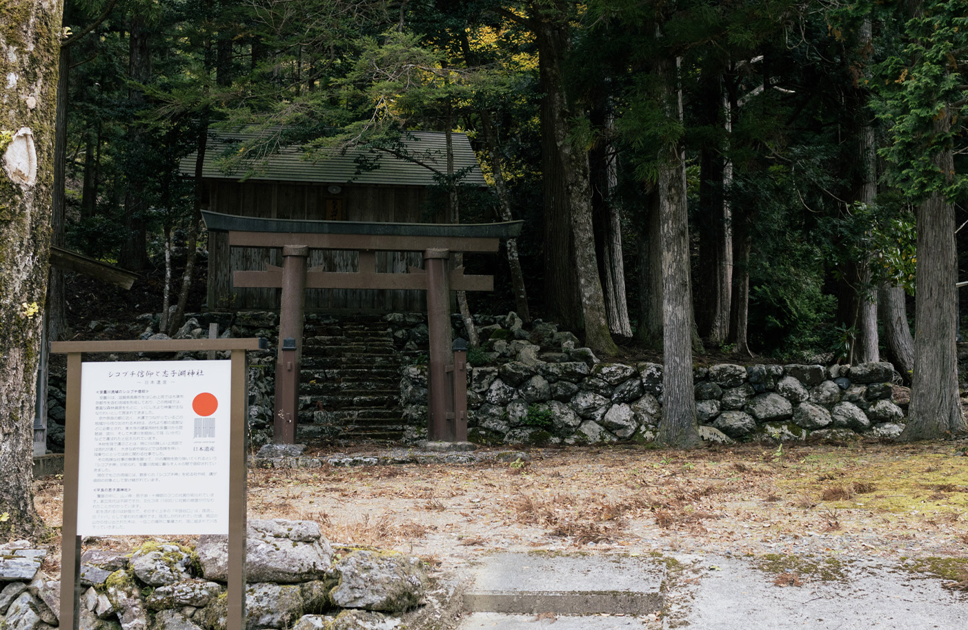
Shikobuchi Shrine
Matsubara Bridge
Bus stop
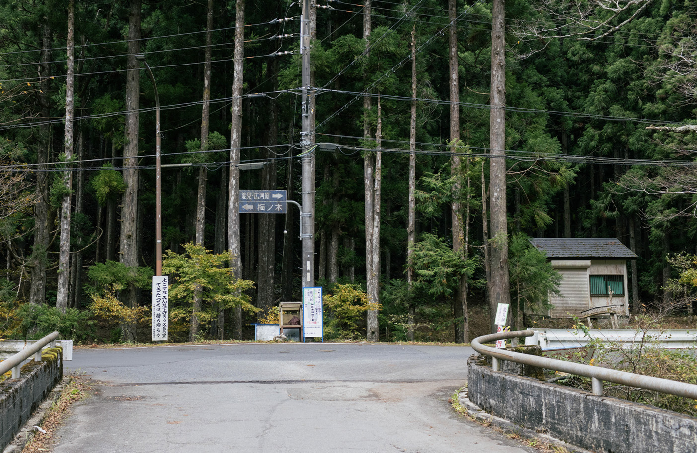
Turn right after Kawaibashi bridge.
14:00
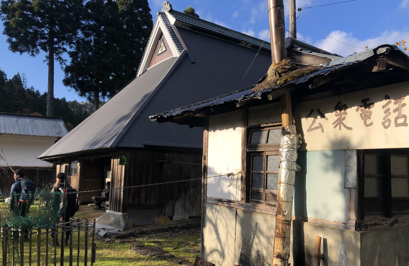
Hisanoya Guest House
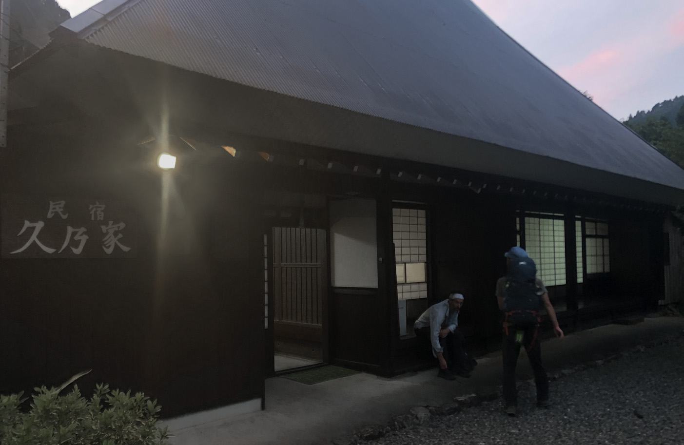
This inn has a calm home-like atmosphere.
You can enjoy “satoyama” village meals such as chicken hot pot and
Reservations are required for overnight stays.
DAY3
5:30
Deart from Hisanoya Guest House
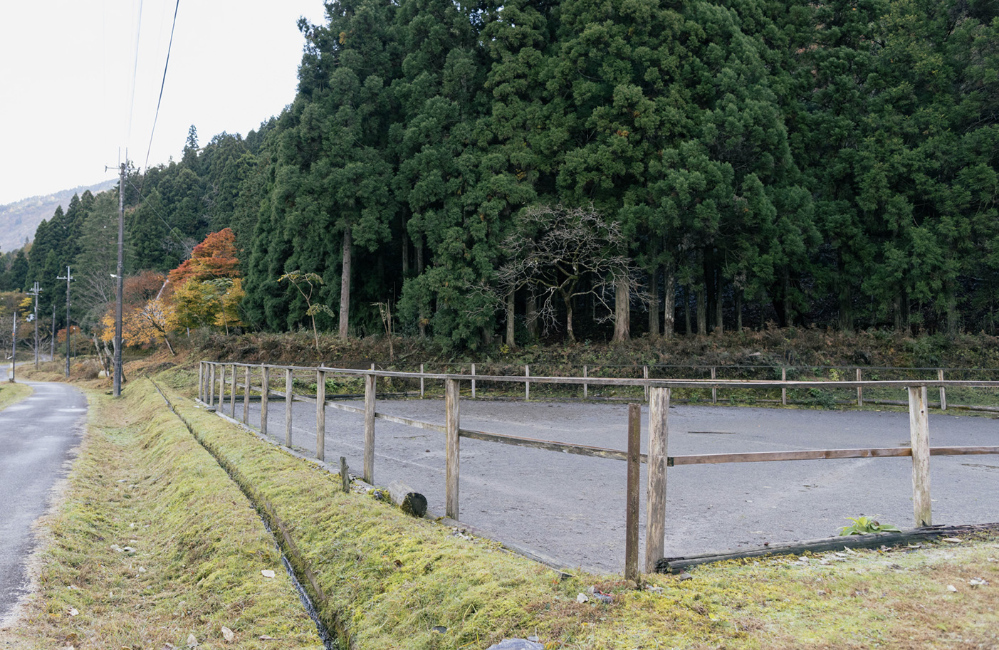
Horse Stables
Turn right onto the forest path.
Turn left onto mountain trail.
Do not cross the bridge. There is an old Sabakaido sign post on the left, which marks the entrance to the mountain trail.
7:30
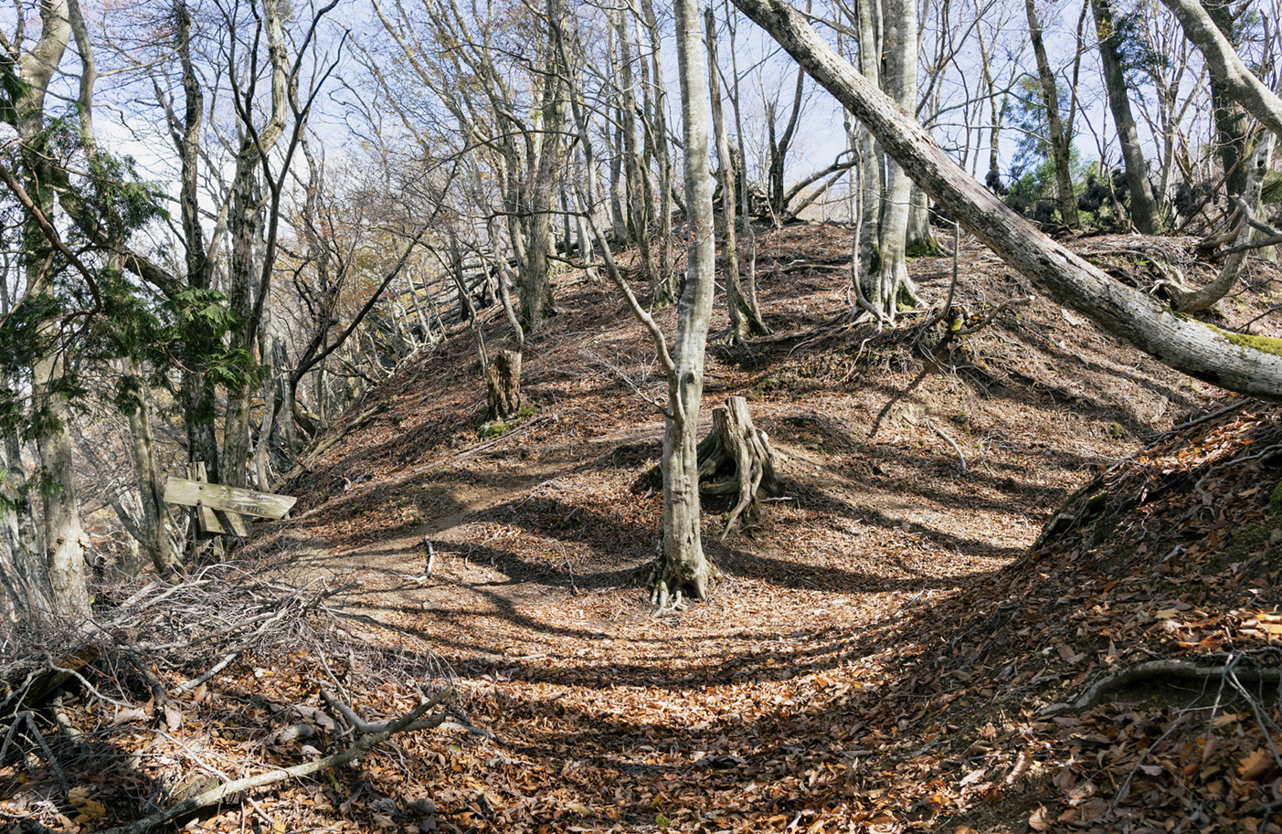
Ogurozaka Pass
Walk across Ogurozaka Pass and there is a small Jizo statue and area map.
Walk across Ogurozaka Pass and there is a small Jizo statue and area map.
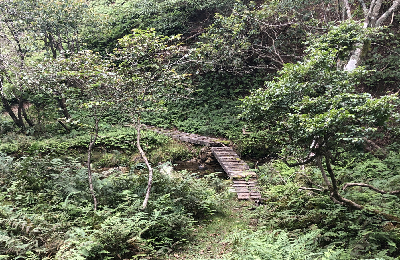
Cross bridge
Cross the small bridge and there is a point for filling up water. From here you enter the Haccho Wetlands area.
Cross the small bridge and there is a point for filling up water. From here you enter the Haccho Wetlands area.
Haccho-daira Wetland Area
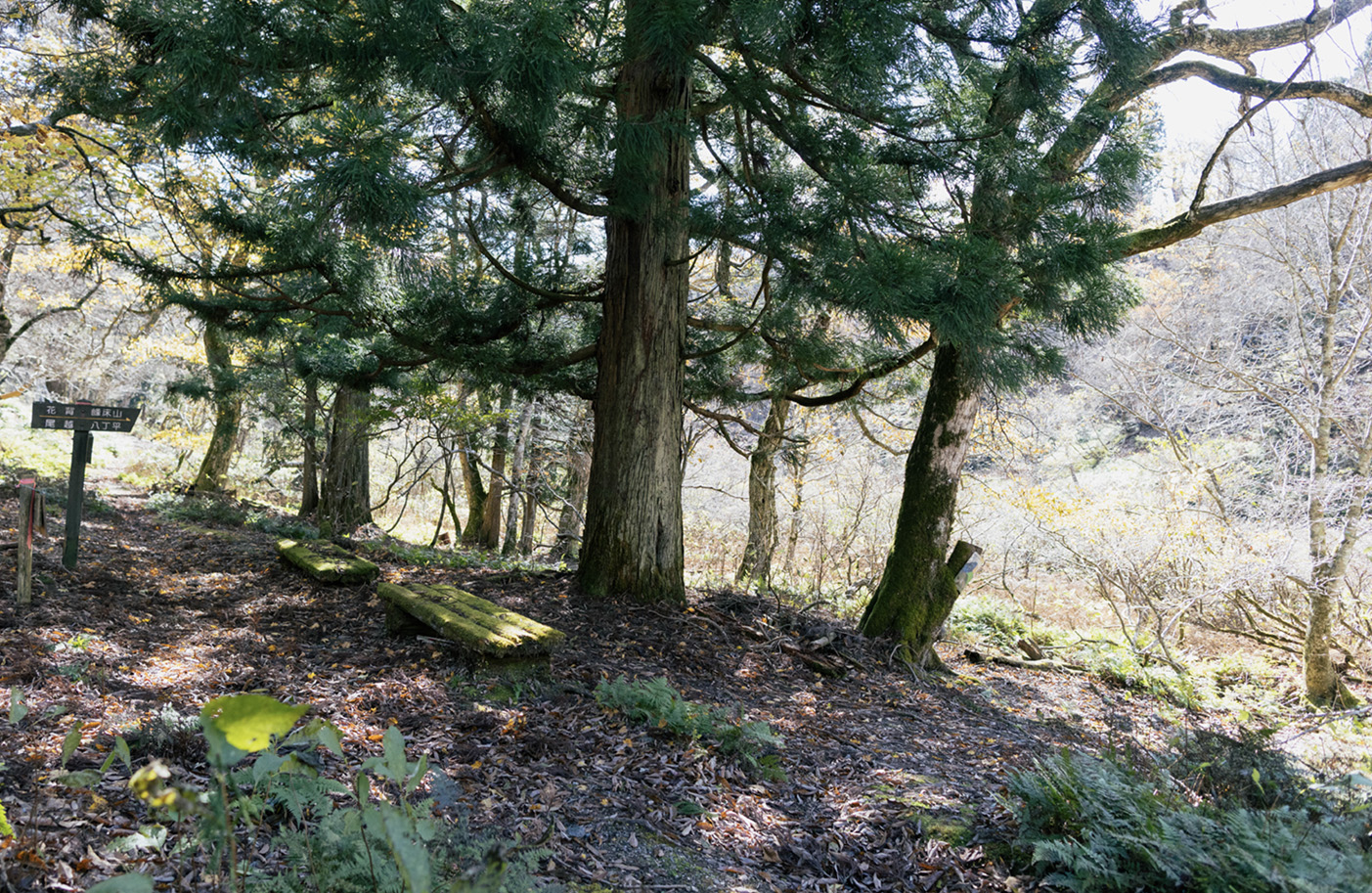
Haccho-daira Wetland : Haccho-daira wetland is one of the few high-altitude wetlands in western Japan, offering a lush landscape covered in moss that is home to many rare plants and insects.
Continue straight at intersection.
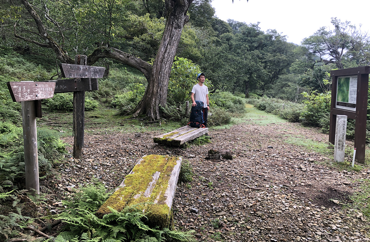
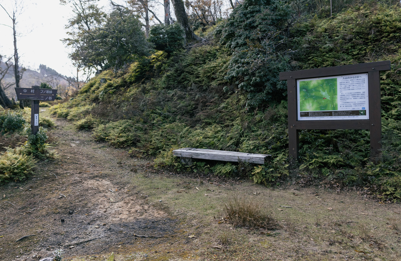
A rest point with benches where the path intersects. The path intersects, but continue straight.
A rest point with benches where the path intersects. The path intersects, but continue straight.
Continue straight at intersection.
Another rest point with benches and a map of the area. The path intersects, but continue straight.
Turn right over the bridge.
Do not continue straight. Turn right across the bridge and the path continues going up on the right.
Another rest point with benches and a map of the area. The path intersects, but continue straight.
Turn right over the bridge.
Do not continue straight. Turn right across the bridge and the path continues going up on the right.
Turn left.
Turn left at the sign and area map.
Turn left at the sign and area map.
Continue straight over the pass.
Path intersects, but continue straight over the pass and descend towards the forest path below.
Turn left onto forest path.
Turn left onto the forest path and continue for 70 metres.
Turn right onto mountain trail.
Turn right at the sign post back onto the descending mountain trail.
Turn sharp left onto mountain road.
Once again you enter the forest path, turn sharp left and continue for 20 metres.
Turn right onto mountain trail.
Turn right back onto the descending mountain trail.
Ninotani valley Community Center
down the forest path.
Ogose Village
Ogose village is a quiet village that retains the atmosphere of traditional country life.
Omi village intersection. Turn right
Turn right at the intersection and there is a small Jizo statue.
Omishikobuchi Shrine
Continue straight on forest path.
Path intersects. Sabakaido signpost: Turn right and follow forest path, or go straight for mountain trail.
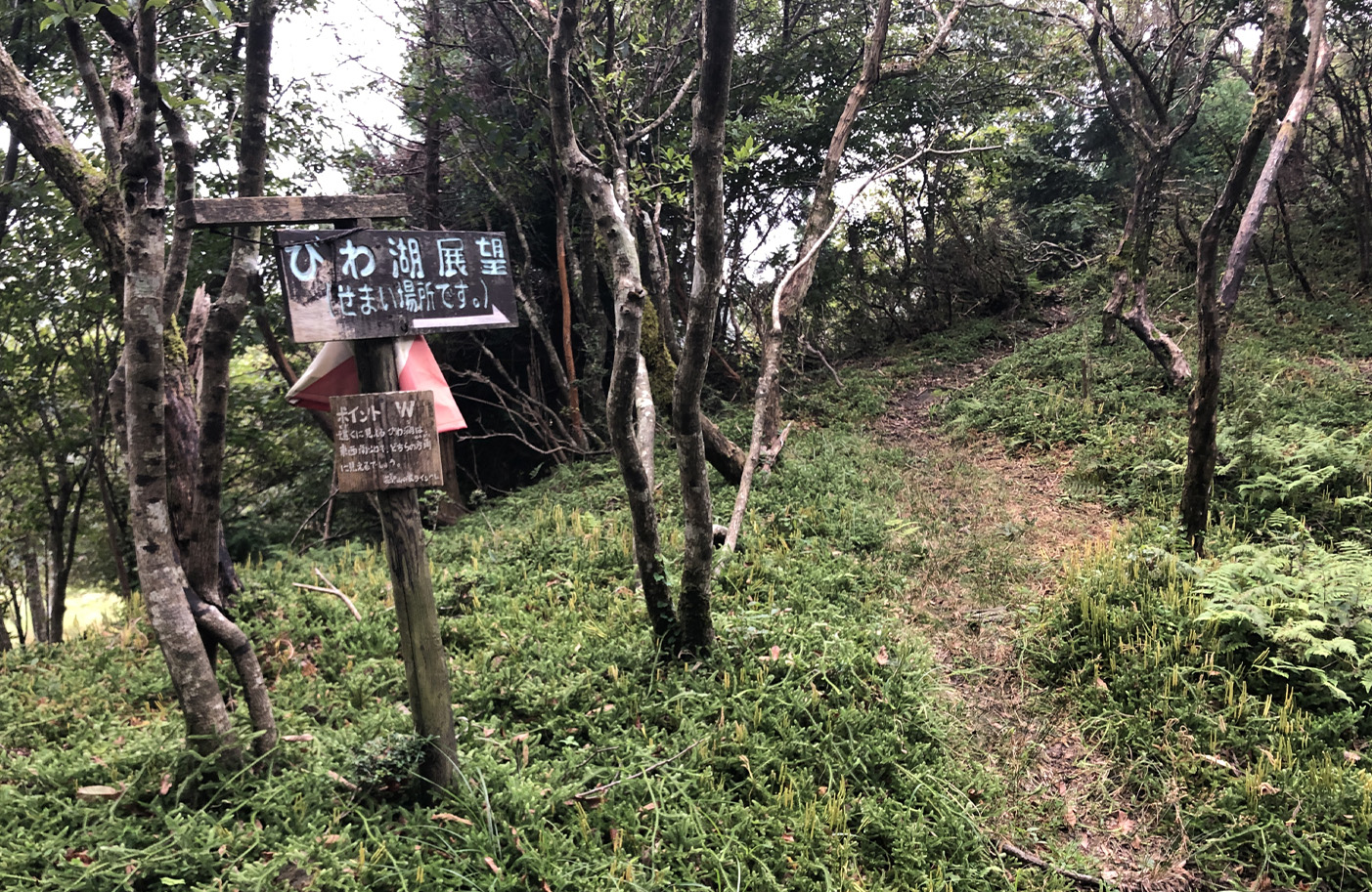
Lake Biwa Observation Point
13:45
Hanase-toge Pass
Hanase-toge Pass is located on National Route 477 at an altitude of 769 meters and from here the steep road winds down into Kyoto city.
Kurama Onsen
Kurama Onsen has outdoor and indoor baths and can be enjoyed all year round.
15:30
Kurama Temple
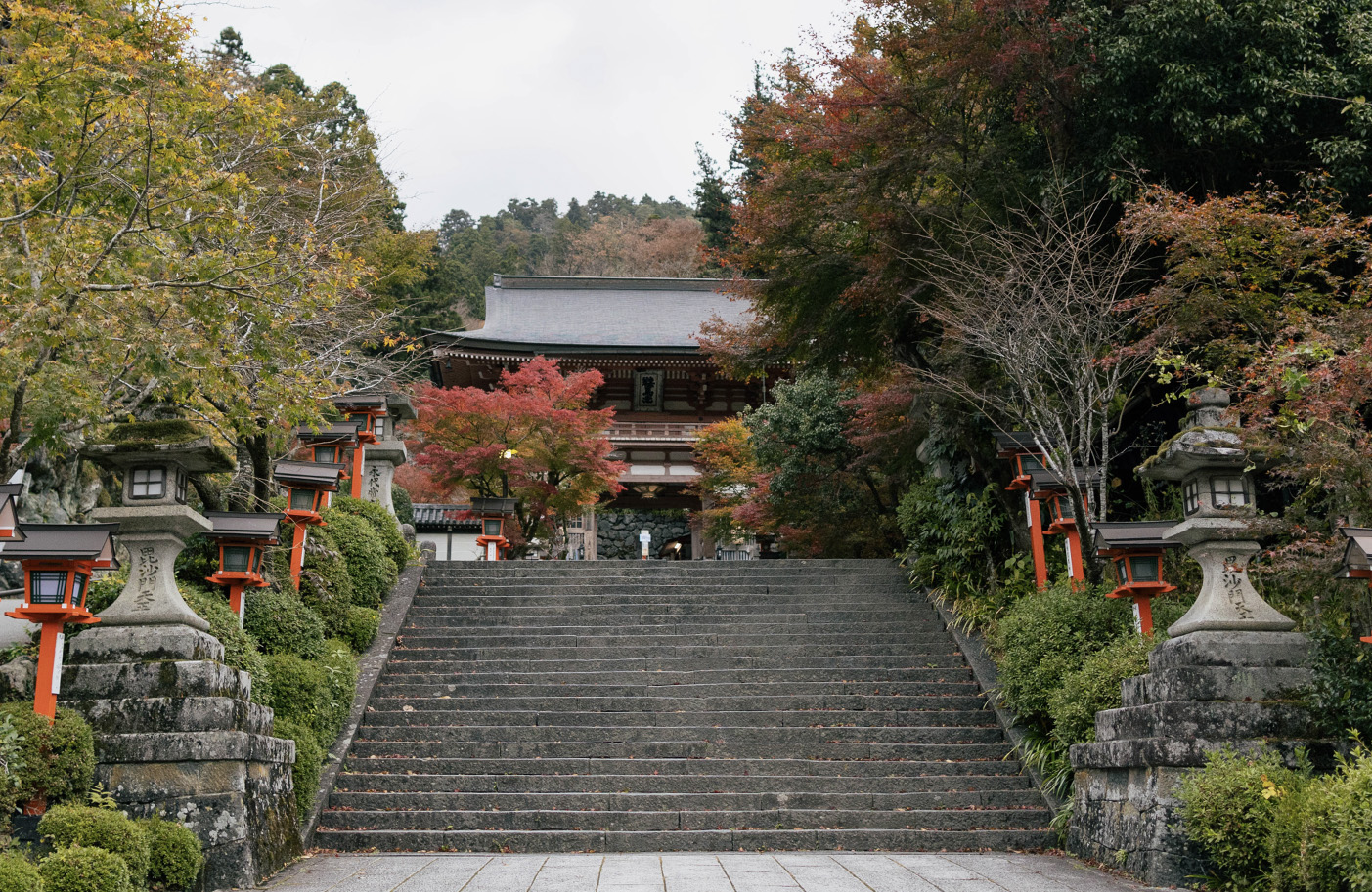
Kurama temple is a Buddhist temple located along the steep wooded mountainside above the town. It takes about 30-45 minutes to climb up to the temple’s main buildings from the town below, and there is also a cablecar (200 yen one way) which leads about halfway up the mountain.
18:30
Goal Post: Demachi Bridge
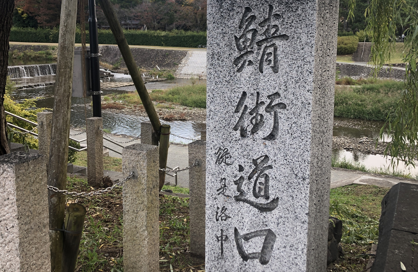
Goal: This stone marker on the western bank of the Takano river indicates the start/end of the Sabakaido route.